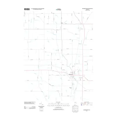
2013 Map of Hagerstown
USGS Topo · Published 2013About this map
Hagerstown and the village of Dalton anchor this West Fork Whitewater River valley landscape in Wayne County. The town site is notably positioned at the confluence where Nettle Cr meets the main channel of the Whitewater River, creating a well-defined drainage pattern across the central plains. To the south, the Hagerstown Airport sits near Scout Lake, reflecting the local aviation infrastructure.
Find a feature on this map
110 named features on this map. Tap any name to fly to it.
Don’t see what you’re looking for? This feature index may not catch every label — zoom into the map to look around manually.
Map Details
Editions of this 2013 Hagerstown Map
This is the sole edition of this map. No revisions or reprints were ever made.
Other maps of this area

1948 · Lewisville
USGS Topo · 1:24,000

1950 · New Castle East
USGS Topo · 1:24,000

1950 · Lewisville
USGS Topo · 1:24,000

1953 · Cincinnati
USGS Topo · 1:250,000

1953 · Muncie
USGS Topo · 1:250,000

1956 · Muncie
USGS Topo · 1:250,000

1957 · Cincinnati
USGS Topo · 1:250,000

1960 · New Castle East
USGS Topo · 1:24,000

1960 · Mount Pleasant
USGS Topo · 1:24,000

1960 · Carlos
USGS Topo · 1:24,000