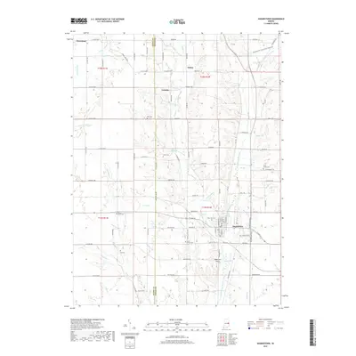
2019 Map of Hagerstown
USGS Topo · Published 2019About this map
Hagerstown serves as the primary hub in this late 2010s survey of eastern Indiana, where the grid of county roads meets the winding path of the Whitewater River. The landscape is a study in rural continuity, with small settlements like Dalton and Franklin punctuating a terrain defined by a dense network of watercourses including Nettle Cr and Bear Cr. The proximity of the Henry and Wayne county line provides a clear boundary for researchers tracking land ownership and regional shifts over time.
Find a feature on this map
116 named features on this map. Tap any name to fly to it.
Don’t see what you’re looking for? This feature index may not catch every label — zoom into the map to look around manually.
Map Details
Editions of this 2019 Hagerstown Map
This is the sole edition of this map. No revisions or reprints were ever made.
Other maps of this area

1948 · Lewisville
USGS Topo · 1:24,000

1950 · New Castle East
USGS Topo · 1:24,000

1950 · Lewisville
USGS Topo · 1:24,000

1953 · Cincinnati
USGS Topo · 1:250,000

1953 · Muncie
USGS Topo · 1:250,000

1956 · Muncie
USGS Topo · 1:250,000

1957 · Cincinnati
USGS Topo · 1:250,000

1960 · New Castle East
USGS Topo · 1:24,000

1960 · Mount Pleasant
USGS Topo · 1:24,000

1960 · Carlos
USGS Topo · 1:24,000