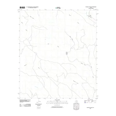
2010 Map of Hagler Canyon
USGS Topo · Published 2010About this map
Whitely Canyon and Hagler Canyon dominate this part of the Trans-Pecos landscape in Brewster County, where a complex network of ephemeral drainages carves through the high desert. The drainage patterns on this sheet reveal the challenging geography of the region, where watercourses like Cedar Creek and Washboard Canyon serve as the primary topographical markers in a territory devoid of permanent settlements. In the northeast corner, the convergence of Putman Canyon and Lisinglass Canyon toward the broader Sanderson Canyon illustrates how these seasonal watersheds eventually feed toward the Rio Grande basin. The presence of Sanderson Creek alongside established transit corridors indicates the narrow paths through which travel and commerce have historically navigated this arid terrain.
Find a feature on this map
9 named features on this map. Tap any name to fly to it.
Don’t see what you’re looking for? This feature index may not catch every label — zoom into the map to look around manually.
Map Details
Editions of this 2010 Hagler Canyon Map
This is the sole edition of this map. No revisions or reprints were ever made.
Other maps of this area

1918 · Bullis Gap
USGS Topo · 1:62,500

1918 · Indian Wells
USGS Topo · 1:62,500

1920 · Longfellow
USGS Topo · 1:125,000

1928 · Sanderson
USGS Topo · 1:125,000

1954 · Fort Stockton
USGS Topo · 1:250,000

1958 · Fort Stockton
USGS Topo · 1:250,000

1959 · Emory Peak
USGS Topo · 1:250,000

1965 · Emory Peak
USGS Topo · 1:250,000

1968 · Big Brindle Canyon
USGS Topo · 1:24,000

1968 · Ninemile Ranch
USGS Topo · 1:24,000