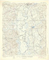
1938 Map of Hagood
USGS Topo · Published 1938About this map
The Wateree River snakes through the heart of this mid-1930s landscape, its dramatic meanders creating distinct landforms like Belmont Neck and Devils Elbow. On the eastern bank, the Southern RR corridor links rural settlements such as Boykin, Hagood, and Horatio, while the Jefferson Davis Highway cuts across the northern reaches near Camden. The map reveals a deeply rooted agrarian and early industrial economy, evidenced by several water-powered sites including Boykin Mill Pond, Jordon Mill, and Ellerbee Mill.
Find a feature on this map
89 named features on this map. Tap any name to fly to it.
Don’t see what you’re looking for? This feature index may not catch every label — zoom into the map to look around manually.
Map Details
Editions of this 1938 Hagood Map
3 editions found
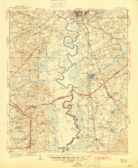
Other maps of this area

1935 · Camden
USGS Topo · 1:48,000

1935 · Killian
USGS Topo · 1:48,000

1937 · Killian
USGS Topo · 1:62,500

1938 · Camden
USGS Topo · 1:62,500

1938 · Hagood
USGS Topo · 1:62,500

1941 · Spartanburg
USGS Topo · 1:250,000

1942 · Camden
USGS Topo · 1:125,000

1943 · Eastover
USGS Topo · 1:62,500

1946 · Sumter
USGS Topo · 1:62,500

1948 · Hopkins
USGS Topo · 1:62,500