2024 Map of Hague
USGS Topo · Published 2024About this map
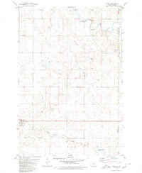
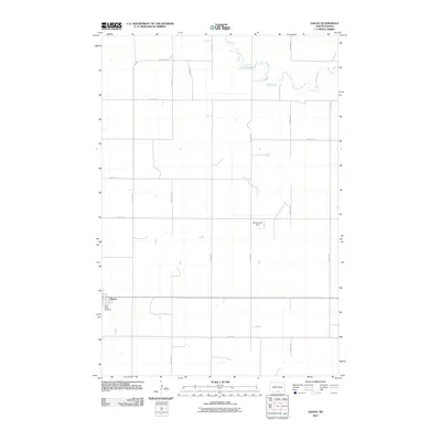
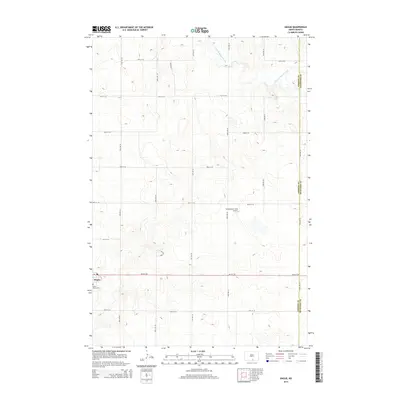
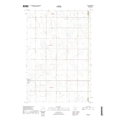
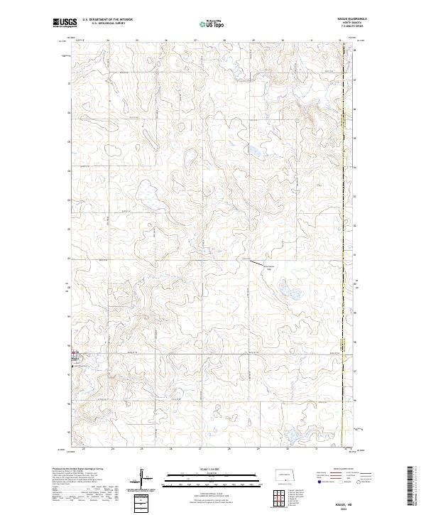
The settlement of Hague anchors the southwestern corner of this survey, surrounded by the characteristic grid of section lines that define the agricultural landscape of Emmons Co and McIntosh Co. Just south of the town center, Saint Marys Cem serves as a vital record for genealogists and local historians researching the early families of this prairie community. The terrain is marked by numerous small depressions and seasonal wetlands typical of the region, including the Emmons County Waterfowl Production Area, which protects critical habitat in the southeastern reaches.
Find a feature on this map
24 named features on this map. Tap any name to fly to it.
Don’t see what you’re looking for? This feature index may not catch every label — zoom into the map to look around manually.
Map Details
Editions of this 2024 Hague Map
This is the sole edition of this map. No revisions or reprints were ever made.
Historical Maps of Hague Through Time
6 maps found