
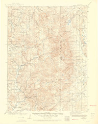
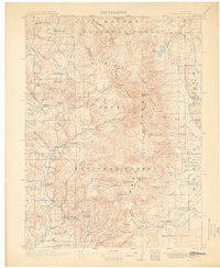
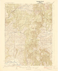
1913 Map of Hahns Peak
USGS Topo · Published 1941About this map
Hahns Pk towers over the surrounding landscape of northern Routt Co, anchoring a region defined by early mining endeavors and high-altitude ranching during the first decade of the twentieth century. The settlement of Columbine sits near the base of the peak, while the Elkhorn Mine and several scattered sawmills indicate the extraction-based economy that drew settlers to these drainages. The Elk River and its multiple forks, including the North Fork Elk River and Middle Fork Elk River, carve through the terrain, providing water for remote outposts like Slavonia and the Boettcher Ranch.
Find a feature on this map
97 named features on this map. Tap any name to fly to it.
Don’t see what you’re looking for? This feature index may not catch every label — zoom into the map to look around manually.
Map Details
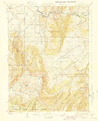
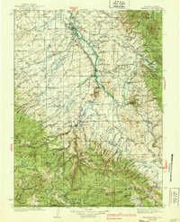
Editions of this 1913 Hahns Peak Map
2 editions found
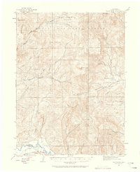
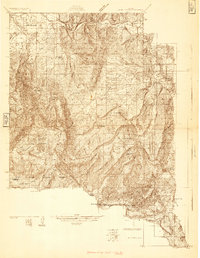
Other maps of this area

1906 · Medicine Bow
USGS Topo · 1:125,000

1908 · Medicine Bow
USGS Topo · 1:125,000
1911 · Hahns Peak
USGS Topo · 1:125,000
1913 · Hahns Peak
USGS Topo · 1:125,000
1923 · Pilot Knob
USGS Topo · 1:62,500
1924 · Mt. Harris
USGS Topo · 1:48,000
1925 · Pilot Knob
USGS Topo · 1:62,500
1926 · Mount Harris
USGS Topo · 1:62,500

1932 · Savery
USGS Topo · 1:96,000
1939 · Saratoga
USGS Topo · 1:125,000