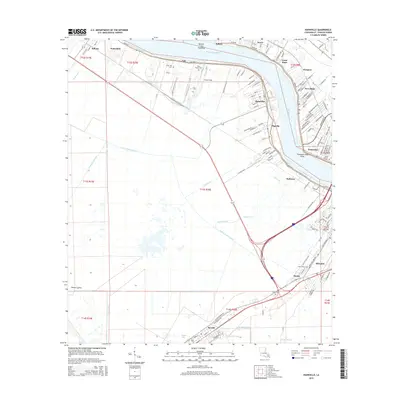
2015 Map of Hahnville
USGS Topo · Published 2015About this map
The Mississippi River bends sharply at Twentysix Mile Point, defining the industrial and residential corridors of St. Charles Parish. This 2015 layout shows the organized settlement patterns of Hahnville and Destrehan along the riverbanks, contrasted with the extensive engineered drainage network of the Vial Canal, Hymel Canal, and Eighty Arpent Canal to the south. The western edge is dominated by the Bonnet Carre Floodway, a massive civil engineering feature designed to manage river overflow.
Find a feature on this map
49 named features on this map. Tap any name to fly to it.
Don’t see what you’re looking for? This feature index may not catch every label — zoom into the map to look around manually.
Map Details
Editions of this 2015 Hahnville Map
This is the sole edition of this map. No revisions or reprints were ever made.
Other maps of this area

1891 · Hahnville
USGS Topo · 1:62,500

1892 · Lac Des Allemands
USGS Topo · 1:62,500

1892 · Mount Airy
USGS Topo · 1:62,500

1892 · Bonnet Carre
USGS Topo · 1:62,500

1932 · Lac Des Allemands SE
USGS Topo · 1:31,680

1932 · Hahnville NW
USGS Topo · 1:31,680

1932 · Lac Des Allemands NE
USGS Topo · 1:31,680

1932 · Hahnville SW
USGS Topo · 1:31,680

1932 · Hahnville NE
USGS Topo · 1:31,680

1935 · Laplace
USGS Topo · 1:31,680