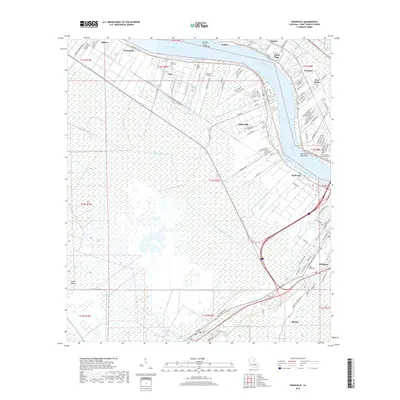
2018 Map of Hahnville
USGS Topo · Published 2018About this map
The Mississippi River carves a dramatic arc through this portion of Saint Charles Parish, defining the industrial and residential corridors of Hahnville and Norco. The landscape is a study in water management, where numerous artificial waterways like the Eighty Arpent Canal, Hymel Canal, and Vial Canal drain the low-lying wetlands. Historical continuity is evident in the cluster of sacred sites along the river road, including the Saint Charles Borromeo Cem and Holy Rosary Cem, which serve as anchors for the local communities of Destrehan and Taft. Northward, the Bonnet Carre Floodway stands as a massive piece of infrastructure designed to protect New Orleans from river surges. South of the main river settlements, the terrain transitions into a labyrinth of bayous and islands, such as Cypress Island and Johnson Island, illustrating the complex deltaic environment that borders Boutte and Ellington.
Find a feature on this map
130 named features on this map. Tap any name to fly to it.
Don’t see what you’re looking for? This feature index may not catch every label — zoom into the map to look around manually.
Map Details
Editions of this 2018 Hahnville Map
This is the sole edition of this map. No revisions or reprints were ever made.
Other maps of this area

1891 · Hahnville
USGS Topo · 1:62,500

1892 · Lac Des Allemands
USGS Topo · 1:62,500

1892 · Mount Airy
USGS Topo · 1:62,500

1892 · Bonnet Carre
USGS Topo · 1:62,500

1932 · Lac Des Allemands SE
USGS Topo · 1:31,680

1932 · Hahnville NW
USGS Topo · 1:31,680

1932 · Lac Des Allemands NE
USGS Topo · 1:31,680

1932 · Hahnville SW
USGS Topo · 1:31,680

1932 · Hahnville NE
USGS Topo · 1:31,680

1935 · Laplace
USGS Topo · 1:31,680