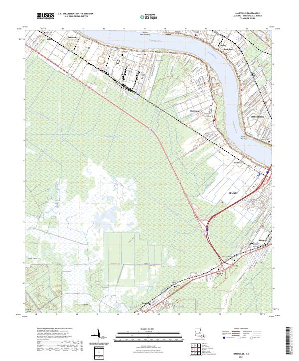
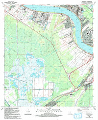
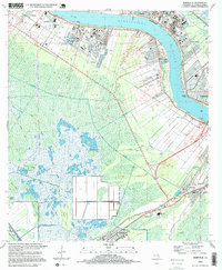
2024 Map of Hahnville
USGS Topo · Published 2024About this map
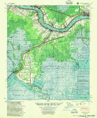
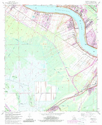
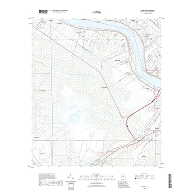
The Mississippi River winds through the heart of St. Charles Parish, defining a landscape of historic riverfront settlements and engineered waterways. Along the West Bank, the seat of local government at Hahnville and the community of Killona sit behind the levees, while the East Bank features the established industrial and residential corridors of Norco and Destrehan. This territory is deeply marked by its relationship to the water, visible in the extensive drainage network of the Eighty Arpent Canal and the Vial Canal.
Find a feature on this map
80 named features on this map. Tap any name to fly to it.
Don’t see what you’re looking for? This feature index may not catch every label — zoom into the map to look around manually.
Map Details
Editions of this 2024 Hahnville Map
This is the sole edition of this map. No revisions or reprints were ever made.
Historical Maps of Ellington Through Time
13 maps found
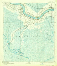
1891 Hahnville
St. Charles Parish, LA
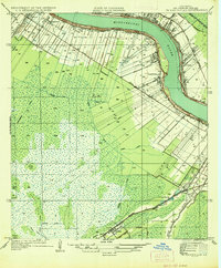
1936 Hahnville
St. Charles Parish, LA
1952 Hahnville
St. Charles Parish, LA
1955 Hahnville
St. Charles Parish, LA
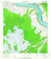
1967 Hahnville
St. Charles Parish, LA
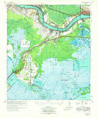
1969 Hahnville
St. Charles Parish, LA
1992 Hahnville
St. Charles Parish, LA
1995 Hahnville
St. Charles Parish, LA
2012 Hahnville
St. Charles Parish, LA
2015 Hahnville
St. Charles Parish, LA
2018 Hahnville
St. Charles Parish, LA
2020 Hahnville
St. Charles Parish, LA
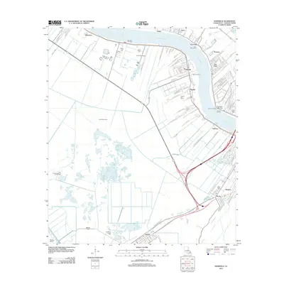
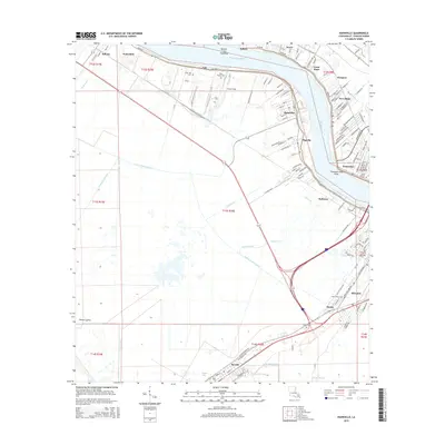
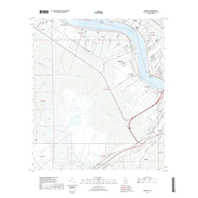
2024 Hahnville
St. Charles Parish, LA