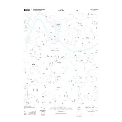
2013 Map of Hail
USGS Topo · Published 2013About this map
Lake Cumberland defines the northern reaches of this landscape, where the water winds through sharp turns at Barnett Bend, Jasper Bend, and Stringer Bend. The terrain is deeply incised by a dense network of branches and forks, including Beaver Cr, Lick Fork, and Freeman Fork, creating a series of prominent ridges such as Pond Ridge and Bear Wallow Ridge. Small settlements and named locales like Hail, Bauer, and Funston are linked by a web of local roads that navigate the complex topography of hollows and flats.
Find a feature on this map
69 named features on this map. Tap any name to fly to it.
Don’t see what you’re looking for? This feature index may not catch every label — zoom into the map to look around manually.
Map Details
Editions of this 2013 Hail Map
This is the sole edition of this map. No revisions or reprints were ever made.
Other maps of this area

1890 · Williamsburg
USGS Topo · 1:125,000

1893 · London
USGS Topo · 1:125,000

1894 · Williamsburg
USGS Topo · 1:125,000

1897 · London
USGS Topo · 1:125,000

1932 · Burnside
USGS Topo · 1:62,500

1935 · Somerset
USGS Topo · 1:62,500

1952 · Hail
USGS Topo · 1:24,000

1952 · Ano
USGS Topo · 1:24,000

1952 · Wiborg
USGS Topo · 1:24,000

1952 · Cumberland Falls
USGS Topo · 1:24,000