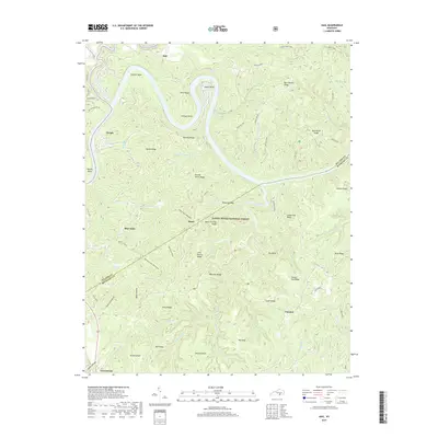
2019 Map of Hail
USGS Topo · Published 2019About this map
Buck Creek carves a deep, winding path through the northern landscape of this region, creating dramatic oxbows like Barnett Bend and Jasper Bend. Much of the area is protected within the Daniel Boone National Forest, where the topography is defined by narrow, finger-like ridges including Double Tarkin Ridge and Baby Stocking Ridge. Small communities and named crossroads such as Hail, Bauer, and Funston are scattered along the higher ground, often connected by winding forest roads. Local history and genealogy researchers will find several family-named landmarks such as John Martin Ridge and Tom Heath Ridge, alongside the Bethel Church near Blue John. The drainage network is dense, with numerous branches like Indian Cave Br and Little Hurricane Fork feeding into larger systems like Beaver Creek.
Find a feature on this map
80 named features on this map. Tap any name to fly to it.
Don’t see what you’re looking for? This feature index may not catch every label — zoom into the map to look around manually.
Map Details
Editions of this 2019 Hail Map
This is the sole edition of this map. No revisions or reprints were ever made.
Other maps of this area

1890 · Williamsburg
USGS Topo · 1:125,000

1893 · London
USGS Topo · 1:125,000

1894 · Williamsburg
USGS Topo · 1:125,000

1897 · London
USGS Topo · 1:125,000

1932 · Burnside
USGS Topo · 1:62,500

1935 · Somerset
USGS Topo · 1:62,500

1952 · Hail
USGS Topo · 1:24,000

1952 · Ano
USGS Topo · 1:24,000

1952 · Wiborg
USGS Topo · 1:24,000

1952 · Cumberland Falls
USGS Topo · 1:24,000