
1952 Map of Halawa
USGS Topo · Published 1953About this map
Ancient Hawaiian engineering and tradition are evident along the southeastern Molokai coast, where a succession of traditional fishponds like Pukoo Fishpond and Kulaalamihi Fishpond line the shore. These stone-walled enclosures, alongside landmarks like the Iliiliopae Heiau, signify a landscape deeply rooted in indigenous aquaculture and spiritual practice. The interior is defined by dramatic verticality, where the Molokai Forest Reserve gives way to sheer drops including the spectacular Kahiwa Falls and Moaula Falls within the Halawa valley system. Settlement is concentrated in small coastal pockets such as Pukoo and the Puu o Hoku Ranch, connected by the early alignment of HWY 45. The map also preserves numerous local land divisions, or ahupuaʻa, such as Honouli Maloo and Mapulehu, which delineate the management of resources from the mountain peaks to the edge of the Pacific Ocean.
Find a feature on this map
98 named features on this map. Tap any name to fly to it.
Don’t see what you’re looking for? This feature index may not catch every label — zoom into the map to look around manually.
Map Details
Editions of this 1952 Halawa Map
This is the sole edition of this map. No revisions or reprints were ever made.
Other maps of this area

1952 · Kamalo
USGS Topo · 1:24,000

1954 · Maui
USGS Topo · 1:250,000

1956 · Honolua
USGS Topo · 1:24,000

1966 · Maui
USGS Topo · 1:250,000

1968 · Halawa
USGS Topo · 1:24,000
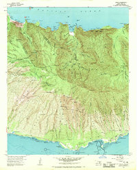
1968 · Kamalo
USGS Topo · 1:24,000

1974 · Maui
USGS Topo · 1:250,000
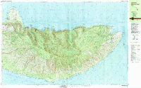
1983 · Molokai East
USGS Topo · 1:25,000
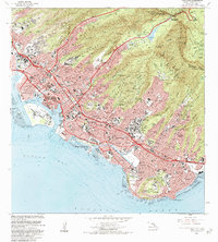
1983 · Honolua
USGS Topo · 1:24,000
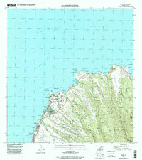
1997 · Napili
USGS Topo · 1:24,000