
1968 Map of Halawa
USGS Topo · Published 1969About this map
Ancient shoreline structures and traditional land divisions define this coastal survey of eastern Molokai. The south shore is heavily marked by traditional aquaculture, featuring the Kulaalamiki Fishpond, Kihaloko Fishpond, and Niaupala Fishpond along the Coral Reef. inland, the landscape is partitioned into numerous traditional ahupuaʻa boundaries such as Kumimi, Mapulehu, and Halawa, reflecting a long history of indigenous land management. Significant cultural sites are identified by name, including the Papa Heiau and Mana Heiau overlooking Halawa Valley. Modern agricultural activity is represented by the Puu o Hoku Ranch and the HSPA Experimental Station near Pukoo. The terrain is defined by dramatic coastal features like Cape Halawa and the steep drops of Kahiwa Falls and Papalaua Falls within the Molokai Forest Reserve, while the Pailolo Channel separates the island from its neighbors.
Find a feature on this map
98 named features on this map. Tap any name to fly to it.
Don’t see what you’re looking for? This feature index may not catch every label — zoom into the map to look around manually.
Map Details
Editions of this 1968 Halawa Map
This is the sole edition of this map. No revisions or reprints were ever made.
Other maps of this area

1952 · Halawa
USGS Topo · 1:24,000

1952 · Kamalo
USGS Topo · 1:24,000

1954 · Maui
USGS Topo · 1:250,000

1956 · Honolua
USGS Topo · 1:24,000

1966 · Maui
USGS Topo · 1:250,000
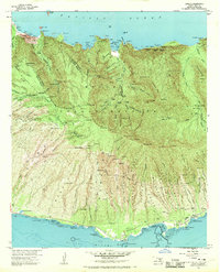
1968 · Kamalo
USGS Topo · 1:24,000

1974 · Maui
USGS Topo · 1:250,000
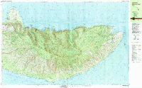
1983 · Molokai East
USGS Topo · 1:25,000
1983 · Honolua
USGS Topo · 1:24,000
1997 · Napili
USGS Topo · 1:24,000