
1968 Map of Hale
USGS Topo · Published 1971About this map
The Au Sable River and its South Branch define the northern landscape of this Iosco County region, winding through the expansive Huron National Forest. In the late 1960s, this area served as a significant recreational and community hub, anchored by the settlement of Hale and the residential clusters at Plainfield Park. The map reveals a dense network of inland waters, including the expansive Loon Lake and Long Lake, which supported seasonal activity at sites like Camp Maqua and Camp Mahn Go Tah See.
Find a feature on this map
45 named features on this map. Tap any name to fly to it.
Don’t see what you’re looking for? This feature index may not catch every label — zoom into the map to look around manually.
Map Details
Editions of this 1968 Hale Map
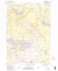
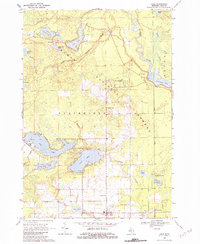
Other maps of this area

1954 · Tawas City
USGS Topo · 1:250,000

1958 · Tawas City
USGS Topo · 1:250,000

1959 · Tawas City
USGS Topo · 1:62,500

1959 · Glennie
USGS Topo · 1:62,500

1968 · Sage Lake
USGS Topo · 1:24,000

1968 · South Branch
USGS Topo · 1:24,000

1968 · Hale SE
USGS Topo · 1:24,000

1972 · Goodar
USGS Topo · 1:24,000

1972 · Alcona Dam Pond
USGS Topo · 1:24,000

1983 · Hubbard Lake
USGS Topo · 1:100,000