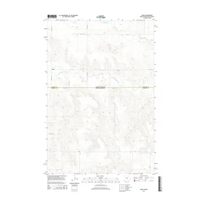
2014 Map of Haley
USGS Topo · Published 2014About this map
Haley sits at the northern edge of this high plains landscape, positioned just above the meandering course of the North Fork Grand River. The geography is defined by a series of drainage systems that flow across the state boundary, including Lightning Cr in the north and both Lewis Cr and Teeter Cr to the south. This 2014 survey documents the remote borderlands where North Dakota and South Dakota meet, illustrating a territory organized by a rigid section-line road grid such as 132nd Ave SW and 101st St SW. The terrain south of the river becomes increasingly dissected by small draws and coulees, particularly around the Vessey Loop area, showing the transition from agricultural tablelands to the more complex topography of the river breaks.
Find a feature on this map
14 named features on this map. Tap any name to fly to it.
Don’t see what you’re looking for? This feature index may not catch every label — zoom into the map to look around manually.
Map Details
Editions of this 2014 Haley Map
This is the sole edition of this map. No revisions or reprints were ever made.
Other maps of this area

1935 · Reva
USGS Topo · 1:125,000

1953 · Dickinson
USGS Topo · 1:250,000

1954 · Lemmon
USGS Topo · 1:250,000

1957 · Dickinson
USGS Topo · 1:250,000

1957 · Lemmon
USGS Topo · 1:250,000

1968 · Ralph SW
USGS Topo · 1:24,000

1968 · Haley
USGS Topo · 1:24,000

1968 · Bowman-Haley Dam
USGS Topo · 1:24,000

1968 · Ralph
USGS Topo · 1:24,000

1969 · Gascoyne
USGS Topo · 1:24,000