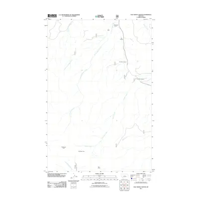
2011 Map of Half Moon Canyon
USGS Topo · Published 2011About this map
Greathouse Peak and Old Baldy anchor the high elevations of this Fergus County landscape, where deep drainages like Half Moon Canyon and No Name Canyon cut through the terrain. The hydrological pattern is defined by the headwaters of several systems, including East Fork Big Spring Creek and the southward-flowing Swimming Woman Creek. The mapping shows a sparsely populated area where human presence is marked primarily by isolated outposts such as Lewis Ranch and the winding course of Red Hill Rd. Movement through this high country relies on natural corridors like Half Moon Pass. The transition from the steep walls of Stovepipe Canyon to the more open reaches of Buffalo Creek illustrates the complex relief that defines this part of Montana.
Find a feature on this map
17 named features on this map. Tap any name to fly to it.
Don’t see what you’re looking for? This feature index may not catch every label — zoom into the map to look around manually.
Map Details
Editions of this 2011 Half Moon Canyon Map
This is the sole edition of this map. No revisions or reprints were ever made.
Other maps of this area

1889 · Big Snowy Mountain
USGS Topo · 1:250,000

1893 · Big Snowy Mountain
USGS Topo · 1:250,000

1954 · Roundup
USGS Topo · 1:250,000

1958 · Roundup
USGS Topo · 1:250,000
1970 · Alaska Bench
USGS Topo · 1:24,000
1970 · Half Moon Canyon
USGS Topo · 1:24,000
1970 · Heath
USGS Topo · 1:24,000
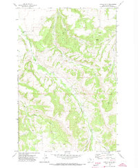
1970 · Castle Butte
USGS Topo · 1:24,000
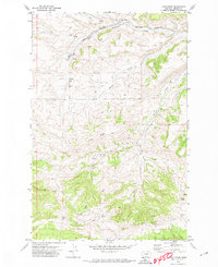
1970 · Loco Ridge
USGS Topo · 1:24,000
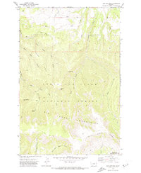
1970 · Jump Off Peak
USGS Topo · 1:24,000