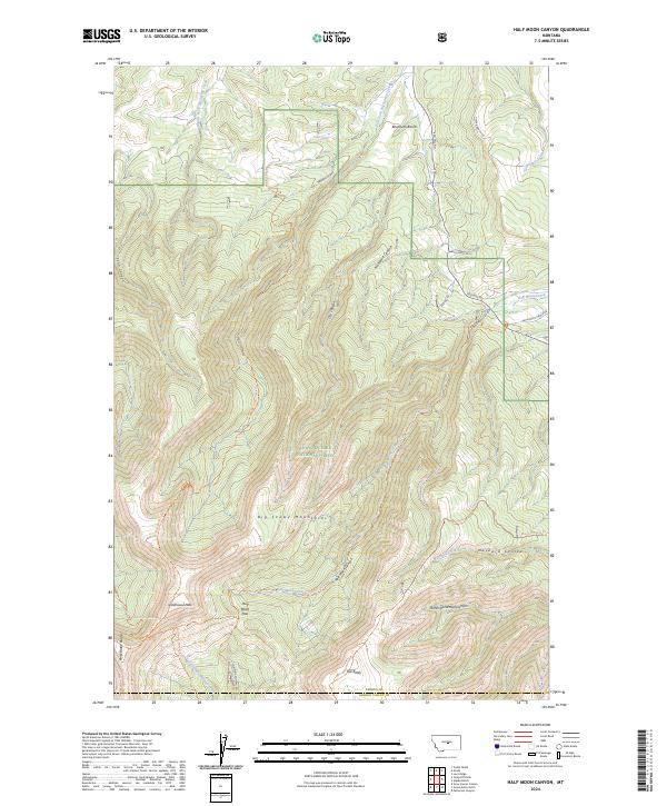
2024 Map of Half Moon Canyon
USGS Topo · Published 2024About this map
The Big Snowy Mountains dominate this central Montana landscape, where the high ridges of the Lewis & Clark National Forest meet the grazing lands of Fergus and Golden Valley counties. This terrain is defined by dramatic vertical relief, reaching its zenith at peaks like Greathouse Peak and the aptly named Old Baldy. The map reveals a complex network of drainage and transport dictated by the limestone geology, from the headwaters of Swimming Woman Creek in the south to the deeply incised Half Moon Canyon that cuts through the heart of the range. Footpaths and forest roads provide the primary access to this high country, with the Uhlhorn Trl and Maynard Ridge Trl tracing the narrow spines between canyons. The presence of Rogers Spring and various benchlands like Bowmans Bench suggest the vital role of water management in this high-altitude environment, while the proximity of the Halfmoon Ranch Rd points to the long-standing ranching traditions that border these protected forest lands.
Find a feature on this map
52 named features on this map. Tap any name to fly to it.
Don’t see what you’re looking for? This feature index may not catch every label — zoom into the map to look around manually.
Map Details
Editions of this 2024 Half Moon Canyon Map
This is the sole edition of this map. No revisions or reprints were ever made.
Other maps of this area

1889 · Big Snowy Mountain
USGS Topo · 1:250,000

1893 · Big Snowy Mountain
USGS Topo · 1:250,000

1954 · Roundup
USGS Topo · 1:250,000

1958 · Roundup
USGS Topo · 1:250,000
1970 · Alaska Bench
USGS Topo · 1:24,000
1970 · Half Moon Canyon
USGS Topo · 1:24,000
1970 · Heath
USGS Topo · 1:24,000
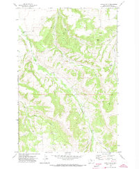
1970 · Castle Butte
USGS Topo · 1:24,000
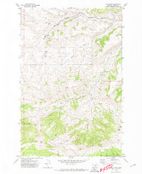
1970 · Loco Ridge
USGS Topo · 1:24,000
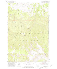
1970 · Jump Off Peak
USGS Topo · 1:24,000