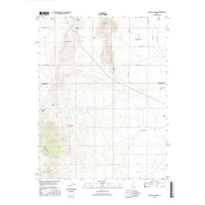
2017 Map of Halfway Summit
USGS Topo · Published 2017About this map
Halfway Summit marks a high point in the Great Basin landscape where the boundary between Millard and Beaver Counties crosses through the Halfway Hills. This 2017 survey details a remote arid environment defined by seasonal water sources and distinctive geological formations. To the southwest, the terrain becomes increasingly complex around The Needles and The Toad, while the northern reaches open into the broad expanse of Antelope Valley.
Find a feature on this map
22 named features on this map. Tap any name to fly to it.
Don’t see what you’re looking for? This feature index may not catch every label — zoom into the map to look around manually.
Map Details
Editions of this 2017 Halfway Summit Map
This is the sole edition of this map. No revisions or reprints were ever made.
Other maps of this area

1953 · Richfield
USGS Topo · 1:250,000

1958 · Richfield
USGS Topo · 1:250,000

1960 · Wah Wah Summit
USGS Topo · 1:62,500

1971 · Mountain Home Pass
USGS Topo · 1:24,000

1971 · Halfway Summit
USGS Topo · 1:24,000

1971 · Tunnel Spring
USGS Topo · 1:24,000

1971 · Sawtooth Peak
USGS Topo · 1:24,000

1971 · Lamerdorf Peak NW
USGS Topo · 1:24,000

1971 · Mormon Gap
USGS Topo · 1:24,000
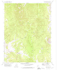
1972 · Lopers Spring
USGS Topo · 1:24,000