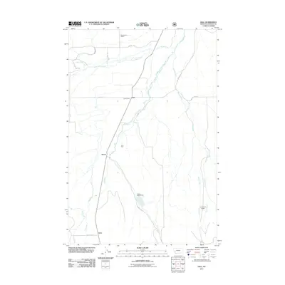
2011 Map of Hall
USGS Topo · Published 2011About this map
Flint Creek serves as the central hydrologic artery of this Granite County valley, winding north past the small settlements of Stone, Sherryl, and Hall. This landscape is defined by its agricultural and mining heritage, evidenced by the irrigation network of the Allendale Ditch and the presence of a Placer Mine near the center of the sheet. The valley floor is framed by notable terrain features like Limestone Ridge to the east and the watershed of Lower Willow Creek to the north.
Find a feature on this map
25 named features on this map. Tap any name to fly to it.
Don’t see what you’re looking for? This feature index may not catch every label — zoom into the map to look around manually.
Map Details
Editions of this 2011 Hall Map
This is the sole edition of this map. No revisions or reprints were ever made.
Other maps of this area

1908 · Philipsburg
USGS Topo · 1:125,000

1919 · Drummond
USGS Topo · 1:125,000

1921 · Drummond
USGS Topo · 1:125,000

1947 · Butte
USGS Topo · 1:250,000

1958 · Butte
USGS Topo · 1:250,000

1958 · Drummond
USGS Topo · 1:62,500

1959 · Bearmouth
USGS Topo · 1:62,500

1960 · Butte
USGS Topo · 1:250,000

1962 · Butte
USGS Topo · 1:250,000

1971 · Henderson Mountain
USGS Topo · 1:24,000