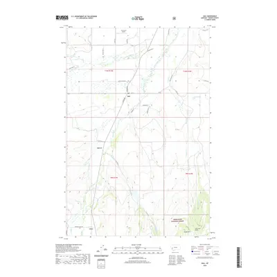
2020 Map of Hall
USGS Topo · Published 2020About this map
Flint Creek serves as the central drainage for this section of Granite County, carving a valley that has long dictated the placement of local settlements and infrastructure. The small community of Hall sits at the junction of N Broadway and Main St, surrounded by a complex network of ranching roads and irrigation works like the Allendale Ditch and Allen Dale Ditch. These waterways illustrate the area's agricultural reliance on redirected mountain runoff. To the south, the valley narrows toward Stone and the boundary of the Deerlodge National Forest, where the terrain ascends toward Limestone Ridge and Douglas Mtn. The map also captures several smaller ranching clusters and named geographic points like Sherryl, located along the winding course of the creek. This landscape remains a mix of open valley floor, irrigated pasture, and the forested foothills of the western Montana mountains.
Find a feature on this map
45 named features on this map. Tap any name to fly to it.
Don’t see what you’re looking for? This feature index may not catch every label — zoom into the map to look around manually.
Map Details
Editions of this 2020 Hall Map
This is the sole edition of this map. No revisions or reprints were ever made.
Other maps of this area

1908 · Philipsburg
USGS Topo · 1:125,000

1919 · Drummond
USGS Topo · 1:125,000

1921 · Drummond
USGS Topo · 1:125,000

1947 · Butte
USGS Topo · 1:250,000

1958 · Butte
USGS Topo · 1:250,000

1958 · Drummond
USGS Topo · 1:62,500

1959 · Bearmouth
USGS Topo · 1:62,500

1960 · Butte
USGS Topo · 1:250,000

1962 · Butte
USGS Topo · 1:250,000

1971 · Henderson Mountain
USGS Topo · 1:24,000