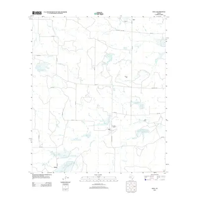
2013 Map of Hall
USGS Topo · Published 2013About this map
Richland Springs Cr and its many tributaries define this section of McCulloch County, where the landscape is marked by a sophisticated network of water management features. Numerous catchments, including the Soil Conservation Service Site 4 Reservoir and Soil Conservation Service Site 3 Reservoir, illustrate the mid-century push for soil and water conservation across the Texas ranchlands. These engineered reservoirs sit alongside natural landmarks like Round Mtn and Clements Hollow, creating a terrain where natural hydrology meets human intervention. Small rural settlements such as Holt, Hall, and Selman serve as anchors for the local community, connected by a web of county roads. The presence of both the Holt Cem and the Cowboy Cem provides significant points of interest for genealogists tracing families from this sparsely populated agricultural region.
Find a feature on this map
47 named features on this map. Tap any name to fly to it.
Don’t see what you’re looking for? This feature index may not catch every label — zoom into the map to look around manually.
Map Details
Editions of this 2013 Hall Map
This is the sole edition of this map. No revisions or reprints were ever made.
Other maps of this area

1885 · San Saba
USGS Topo · 1:125,000

1894 · Brady
USGS Topo · 1:125,000

1894 · San Saba
USGS Topo · 1:125,000

1925 · Brady 1-b
USGS Topo · 1:48,000

1925 · Brady 1-a
USGS Topo · 1:48,000

1925 · San Saba 2-b
USGS Topo · 1:48,000

1928 · Mercury
USGS Topo · 1:62,500

1930 · Richland Springs
USGS Topo · 1:62,500

1948 · Richland Springs
USGS Topo · 1:62,500

1950 · Mercury
USGS Topo · 1:62,500