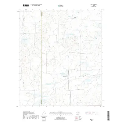
2019 Map of Hall
USGS Topo · Published 2019About this map
The boundary between McCulloch and San Saba Counties bisects this Central Texas landscape, defined by a network of seasonal creeks and drainage basins. Small rural communities like Hall and Holt anchor the region, connected by a lattice of country roads including Ranch Rd 2997 and several county routes. The terrain is marked by significant hydrological management, evidenced by the Southeast Laterals Watershed Number Six and a series of reservoirs like Soil Conservation Service Site 5 Reservoir and Soil Conservation Service Site 3 Reservoir, which capture runoff in an area characterized by landforms such as Clements Hollow and Round Mtn. Genealogy and local history are preserved at the Cowboy Cem and Holt Cem, while the natural geography of the Hall Valley is shaped by the headwaters of Richland Springs Cr and Mountain Cr.
Find a feature on this map
41 named features on this map. Tap any name to fly to it.
Don’t see what you’re looking for? This feature index may not catch every label — zoom into the map to look around manually.
Map Details
Editions of this 2019 Hall Map
This is the sole edition of this map. No revisions or reprints were ever made.
Other maps of this area

1885 · San Saba
USGS Topo · 1:125,000

1894 · Brady
USGS Topo · 1:125,000

1894 · San Saba
USGS Topo · 1:125,000

1925 · Brady 1-b
USGS Topo · 1:48,000

1925 · Brady 1-a
USGS Topo · 1:48,000

1925 · San Saba 2-b
USGS Topo · 1:48,000

1928 · Mercury
USGS Topo · 1:62,500

1930 · Richland Springs
USGS Topo · 1:62,500

1948 · Richland Springs
USGS Topo · 1:62,500

1950 · Mercury
USGS Topo · 1:62,500