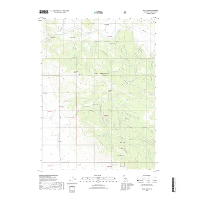
2018 Map of Halls Canyon
USGS Topo · Published 2018About this map
The Pit River winds through the northwestern corner of this territory, defining the northern boundary of the Modoc National Forest. This high-desert landscape is characterized by a complex network of canyons and ridges, including the deep cut of Halls Canyon and the expansive Big Valley to the west. The terrain is marked by prominent volcanic features and buttes such as Allen Butte, Black Butte, and Rattlesnake Butte. Water sources are essential markers here, with numerous named springs like Quaking Aspen Spring, Nichols Spring, and Hays Springs scattered throughout the highlands.
Find a feature on this map
73 named features on this map. Tap any name to fly to it.
Don’t see what you’re looking for? This feature index may not catch every label — zoom into the map to look around manually.
Map Details
Editions of this 2018 Halls Canyon Map
This is the sole edition of this map. No revisions or reprints were ever made.
Other maps of this area

1886 · Alturas
USGS Topo · 1:250,000

1886 · Modoc Lava Bed
USGS Topo · 1:250,000

1892 · Modoc Lava-Bed
USGS Topo · 1:250,000

1892 · Alturas
USGS Topo · 1:250,000

1954 · Alturas
USGS Topo · 1:250,000

1958 · Alturas
USGS Topo · 1:250,000

1961 · Canby
USGS Topo · 1:62,500

1961 · Bieber
USGS Topo · 1:62,500

1962 · Alturas
USGS Topo · 1:250,000

1962 · Crank Mountain
USGS Topo · 1:62,500