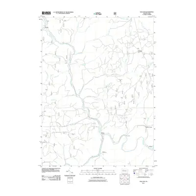
2011 Map of Hallton
USGS Topo · Published 2011About this map
The Clarion River winds through the southern portion of this landscape, marking a deep valley where small settlements like Hallton and Arroyo are situated. This 2011 survey captures a region defined by its timber and resource history, evidenced by the scattered locations of the Spring Creek Gas Field and Hallton Gas Field. The industrial character is balanced by high-elevation landmarks such as the Zimmerman Fire Tower near the western boundary.
Find a feature on this map
48 named features on this map. Tap any name to fly to it.
Don’t see what you’re looking for? This feature index may not catch every label — zoom into the map to look around manually.
Map Details
Editions of this 2011 Hallton Map
This is the sole edition of this map. No revisions or reprints were ever made.
Other maps of this area

1918 · Loleta
USGS Topo · 1:62,500

1934 · Kane
USGS Topo · 1:48,000

1935 · Sheffield
USGS Topo · 1:48,000

1936 · Marienville
USGS Topo · 1:48,000

1939 · Kane
USGS Topo · 1:62,500

1940 · Hallton
USGS Topo · 1:48,000

1941 · Sheffield
USGS Topo · 1:62,500

1941 · Marienville
USGS Topo · 1:62,500

1943 · Hallton
USGS Topo · 1:62,500

1957 · Warren
USGS Topo · 1:250,000
Featured Places
- Millstone Township, PA
- Spring Creek Township, PA
- Jenks Township, PA
- Highland Township, PA
- Heath Township, PA