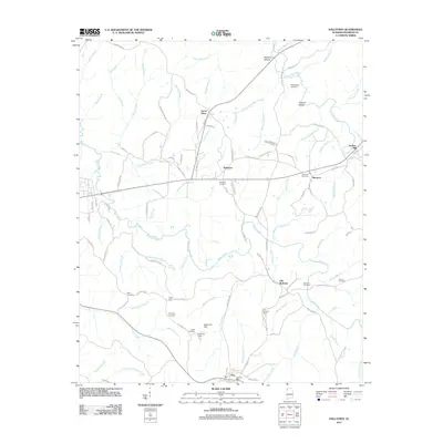
2011 Map of Halltown
USGS Topo · Published 2011About this map
Vina serves as a principal focal point for this Franklin County landscape, situated along a network of county highways and local routes like Main St. The town is supported by essential community landmarks including the Vina Post Office and the Vina Lookout Tower. The surrounding terrain is defined by a dense system of waterways, where Bear Creek and its many tributaries, such as Shoat Mill Branch and Boyd Mill Branch, carve through the land.
Find a feature on this map
108 named features on this map. Tap any name to fly to it.
Don’t see what you’re looking for? This feature index may not catch every label — zoom into the map to look around manually.
Map Details
Editions of this 2011 Halltown Map
This is the sole edition of this map. No revisions or reprints were ever made.
Other maps of this area

1925 · Barton
USGS Topo · 1:62,500

1926 · Barton
USGS Topo · 1:48,000

1929 · Barton
USGS Topo · 1:62,500

1935 · Pleasant Site
USGS Topo · 1:24,000

1936 · Belmont
USGS Topo · 1:24,000

1936 · Pleasant Grove
USGS Topo · 1:24,000

1936 · Hodges
USGS Topo · 1:24,000

1936 · Red Bay
USGS Topo · 1:24,000

1936 · Vina
USGS Topo · 1:24,000

1936 · Halltown
USGS Topo · 1:24,000