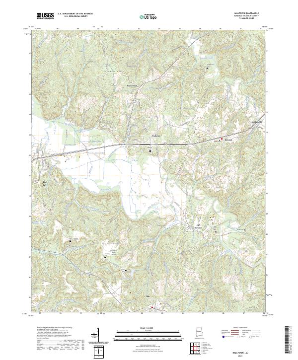
2024 Map of Halltown
USGS Topo · Published 2024About this map
The Freedom Hills dominate this section of Franklin County, where the Tennessee Valley Divide marks the high ground between complex drainage basins. This modern topographic record captures a network of rural crossroads and family settlements, many defined by their proximity to small cemeteries and seasonal prongs. Halltown and Old Burleson anchor the central landscape, while the edges of Red Bay and Vina show the ongoing footprint of these established Alabama communities.
Find a feature on this map
111 named features on this map. Tap any name to fly to it.
Don’t see what you’re looking for? This feature index may not catch every label — zoom into the map to look around manually.
Map Details
Editions of this 2024 Halltown Map
This is the sole edition of this map. No revisions or reprints were ever made.
Other maps of this area

1925 · Barton
USGS Topo · 1:62,500

1926 · Barton
USGS Topo · 1:48,000

1929 · Barton
USGS Topo · 1:62,500

1935 · Pleasant Site
USGS Topo · 1:24,000

1936 · Belmont
USGS Topo · 1:24,000

1936 · Pleasant Grove
USGS Topo · 1:24,000

1936 · Hodges
USGS Topo · 1:24,000

1936 · Red Bay
USGS Topo · 1:24,000

1936 · Vina
USGS Topo · 1:24,000

1936 · Halltown
USGS Topo · 1:24,000