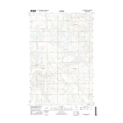
2016 Map of Halverson Lake
USGS Topo · Published 2016About this map
The small settlement of Rindal anchors the southeastern corner of this glacial landscape in Polk County, where the transition from prairie to woodland is defined by a dense network of water bodies and marshy basins. The geography is dominated by numerous named lakes including Cable Lake, Halverson Lake, and Lake Arthur, which are interspersed among the winding courses of the Sand Hill River and Kittleson Cr. These waterways reflect the characteristic hydrography of northwestern Minnesota, where the land’s gradual elevation changes dictate the flow through low-lying areas like Garden Slough.
Find a feature on this map
40 named features on this map. Tap any name to fly to it.
Don’t see what you’re looking for? This feature index may not catch every label — zoom into the map to look around manually.
Map Details
Editions of this 2016 Halverson Lake Map
This is the sole edition of this map. No revisions or reprints were ever made.
Other maps of this area

1918 · Twin Valley
USGS Topo · 1:62,500

1919 · Valley
USGS Topo · 1:62,500

1952 · Grand Forks
USGS Topo · 1:250,000

1956 · Grand Forks
USGS Topo · 1:250,000

1965 · Dugdale
USGS Topo · 1:24,000

1965 · Fertile
USGS Topo · 1:24,000

1965 · Flaming
USGS Topo · 1:24,000

1966 · Grand Forks
USGS Topo · 1:250,000
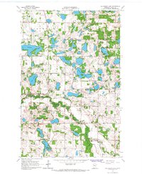
1966 · Halverson Lake
USGS Topo · 1:24,000

1966 · Union Lake
USGS Topo · 1:24,000