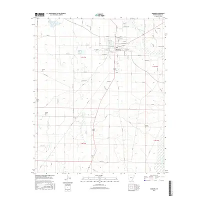
2017 Map of Hamburg
USGS Topo · Published 2017About this map
Hamburg serves as the central hub of this Ashley County landscape, where the street grid of the town center transitions into a network of rural roads and timberlands. The area is marked by numerous family and community burial grounds, including the historic Hamburg Cem near the town and the more outlying Antioch Cem and Carter Cem. These sites, along with Evergreen Cem and Pleasant Grove Cem, provide critical touchpoints for genealogists tracing South Arkansas roots.
Find a feature on this map
90 named features on this map. Tap any name to fly to it.
Don’t see what you’re looking for? This feature index may not catch every label — zoom into the map to look around manually.
Map Details
Editions of this 2017 Hamburg Map
This is the sole edition of this map. No revisions or reprints were ever made.
Other maps of this area

1935 · Mist
USGS Topo · 1:62,500

1935 · Wilmot
USGS Topo · 1:62,500

1952 · Fountain Hill
USGS Topo · 1:24,000

1953 · Greenwood
USGS Topo · 1:250,000

1956 · Greenwood
USGS Topo · 1:250,000

1960 · Mist
USGS Topo · 1:62,500

1960 · Wilmot
USGS Topo · 1:62,500

1960 · Wilmot NW
USGS Topo · 1:24,000
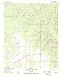
1960 · Mist
USGS Topo · 1:24,000
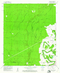
1960 · Wilmot SW
USGS Topo · 1:24,000