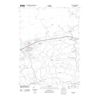
2010 Map of Hamburg
USGS Topo · Published 2010About this map
The Schuylkill River and its accompanying canal infrastructure anchor the western edge of this Berks County landscape, where the legacy of industrial transit is visible at Five Locks. The town of Hamburg serves as a central hub, surrounded by smaller settlements such as Edelburg, Lenhartsville, and Windsor Castle. The map documents a significant intersection of recreational and historic infrastructure, including the Appalachian Trl winding through the northern ridges near Owls Head and Pulpit Rock.
Find a feature on this map
105 named features on this map. Tap any name to fly to it.
Don’t see what you’re looking for? This feature index may not catch every label — zoom into the map to look around manually.
Map Details
Editions of this 2010 Hamburg Map
This is the sole edition of this map. No revisions or reprints were ever made.
Other maps of this area

1889 · Pottsville
USGS Topo · 1:62,500

1891 · Pottsville
USGS Topo · 1:62,500

1894 · Reading
USGS Topo · 1:62,500

1902 · Wernersville
USGS Topo · 1:62,500

1909 · Hamburg
USGS Topo · 1:62,500

1911 · Hamburg
USGS Topo · 1:62,500

1913 · Reading
USGS Topo · 1:62,500

1915 · Reading
USGS Topo · 1:62,500

1943 · Wernersville
USGS Topo · 1:62,500

1944 · Reading
USGS Topo · 1:62,500