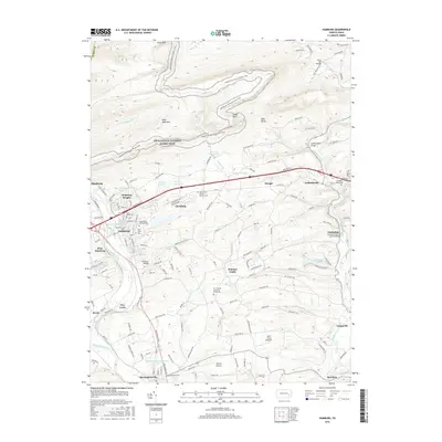
2016 Map of Hamburg
USGS Topo · Published 2016About this map
Blue Mountain and the Appalachian National Scenic Trail dominate the northern landscape of this region, where the terrain drops sharply toward the Schuylkill River valley. The borough of Hamburg serves as a central hub, flanked by satellite communities like Hamburg Heights, West Hamburg, and Edenburg. A legacy of religious and community life is evident in the numerous burial grounds and churches, including Saint Pauls Smoke Church Cem and Zion United Church of Christ Cem.
Find a feature on this map
46 named features on this map. Tap any name to fly to it.
Don’t see what you’re looking for? This feature index may not catch every label — zoom into the map to look around manually.
Map Details
Editions of this 2016 Hamburg Map
This is the sole edition of this map. No revisions or reprints were ever made.
Other maps of this area

1889 · Pottsville
USGS Topo · 1:62,500

1891 · Pottsville
USGS Topo · 1:62,500

1894 · Reading
USGS Topo · 1:62,500

1902 · Wernersville
USGS Topo · 1:62,500

1909 · Hamburg
USGS Topo · 1:62,500

1911 · Hamburg
USGS Topo · 1:62,500

1913 · Reading
USGS Topo · 1:62,500

1915 · Reading
USGS Topo · 1:62,500

1943 · Wernersville
USGS Topo · 1:62,500

1944 · Reading
USGS Topo · 1:62,500