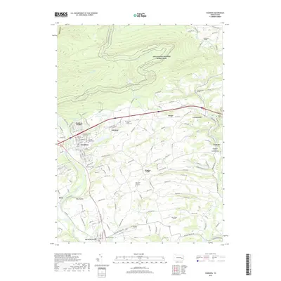
2019 Map of Hamburg
USGS Topo · Published 2019About this map
The Schuylkill River and Maiden Creek define the lowlands of this Berks County landscape, where traditional Pennsylvania settlements like Hamburg and Shoemakersville sit along established transport corridors. To the north, the terrain rises sharply toward the Appalachian National Scenic Trail, which winds along the ridgeline above Rattling Run and Furnace Creek. This 2019 survey documents a mix of agricultural heritage and small-scale infrastructure, from the Skyline Airstrip near the southern border to the Hamburg Reservoir tucked into the northern slopes.
Find a feature on this map
163 named features on this map. Tap any name to fly to it.
Don’t see what you’re looking for? This feature index may not catch every label — zoom into the map to look around manually.
Map Details
Editions of this 2019 Hamburg Map
This is the sole edition of this map. No revisions or reprints were ever made.
Other maps of this area

1889 · Pottsville
USGS Topo · 1:62,500

1891 · Pottsville
USGS Topo · 1:62,500

1894 · Reading
USGS Topo · 1:62,500

1902 · Wernersville
USGS Topo · 1:62,500

1909 · Hamburg
USGS Topo · 1:62,500

1911 · Hamburg
USGS Topo · 1:62,500

1913 · Reading
USGS Topo · 1:62,500

1915 · Reading
USGS Topo · 1:62,500

1943 · Wernersville
USGS Topo · 1:62,500

1944 · Reading
USGS Topo · 1:62,500