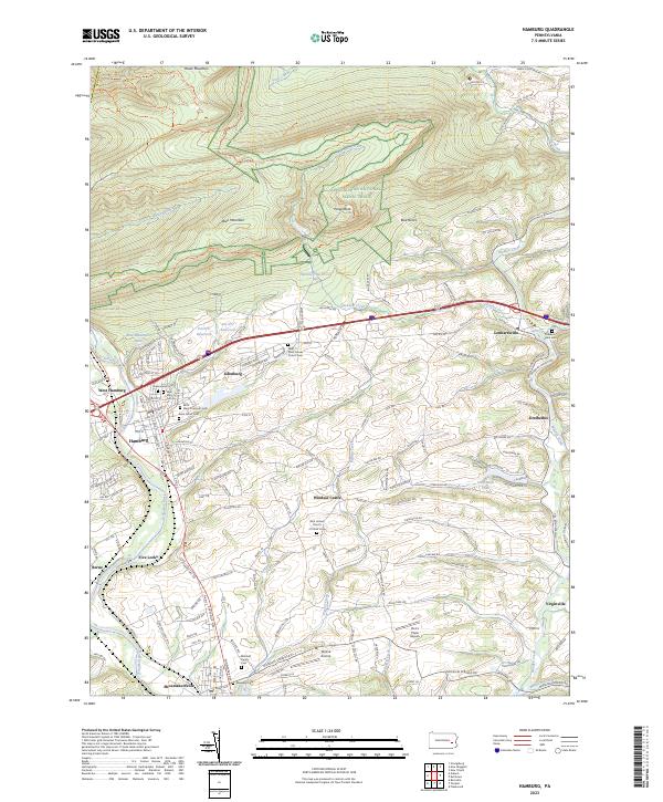
2023 Map of Hamburg
USGS Topo · Published 2023About this map
Blue Mountain and Hawk Mountain dominate the northern terrain of this Berks County landscape, where the Appalachian National Scenic Trl traverses ridges overlooking the Schuylkill River. The corridor between Hamburg and Lenhartsville serves as a primary axis for settlement and industry, following the path of Furnace Creek and Old US Hwy 22. Genealogists will find a high density of burial sites reflecting the area's deep history, including the Warzluft Family Cem, Friedens Union Cem, and the uniquely named Saint Pauls Smoke Church Cem.
Find a feature on this map
158 named features on this map. Tap any name to fly to it.
Don’t see what you’re looking for? This feature index may not catch every label — zoom into the map to look around manually.
Map Details
Editions of this 2023 Hamburg Map
This is the sole edition of this map. No revisions or reprints were ever made.
Other maps of this area

1889 · Pottsville
USGS Topo · 1:62,500

1891 · Pottsville
USGS Topo · 1:62,500

1894 · Reading
USGS Topo · 1:62,500

1902 · Wernersville
USGS Topo · 1:62,500

1909 · Hamburg
USGS Topo · 1:62,500

1911 · Hamburg
USGS Topo · 1:62,500

1913 · Reading
USGS Topo · 1:62,500

1915 · Reading
USGS Topo · 1:62,500

1943 · Wernersville
USGS Topo · 1:62,500

1944 · Reading
USGS Topo · 1:62,500