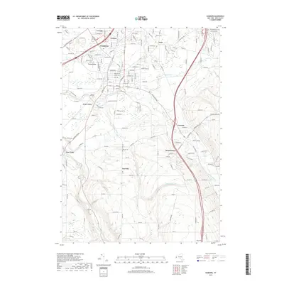
2019 Map of Hamburg
USGS Topo · Published 2019About this map
Hamburg stands as the central hub of this Erie County landscape, where the developed streets of Scranton and Carnegie meet the branching waters of Eighteenmile Creek. The geography is defined by a series of south-to-north waterways, including Hampton Brook and the South Branch Eighteenmile Creek, which carve through the terrain toward Lake Erie. These drainages influenced the placement of smaller residential clusters like Water Valley, North Boston, and Creekside.
Find a feature on this map
76 named features on this map. Tap any name to fly to it.
Don’t see what you’re looking for? This feature index may not catch every label — zoom into the map to look around manually.
Map Details
Editions of this 2019 Hamburg Map
This is the sole edition of this map. No revisions or reprints were ever made.
Other maps of this area

1894 · Buffalo
USGS Topo · 1:62,500

1901 · Buffalo
USGS Topo · 1:62,500

1905 · Depew
USGS Topo · 1:62,500

1905 · Eden
USGS Topo · 1:62,500

1907 · Eden
USGS Topo · 1:62,500

1925 · Springville
USGS Topo · 1:62,500

1944 · Eden
USGS Topo · 1:62,500

1944 · North Collins
USGS Topo · 1:31,680

1944 · Hamburg
USGS Topo · 1:31,680

1944 · Langford
USGS Topo · 1:31,680