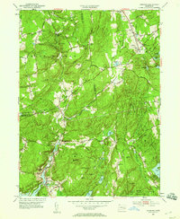
1952 Map of Hamburg
USGS Topo · Published 1959About this map
The Eightmile River and its various tributaries, such as Muddy Brook and Beaver Brook, define the drainage and settlement patterns across this portion of New London and Middlesex counties. The 1950s landscape is anchored by the protected acreage of Devils Hopyard State Park and Nehantic State Forest, showcasing the region's transition from early industrial and agricultural use back toward a forested, conservation-focused state. Notable features like Chapman Falls and the Gaging Sta on the river highlight the hydrological importance of the area.
Find a feature on this map
64 named features on this map. Tap any name to fly to it.
Don’t see what you’re looking for? This feature index may not catch every label — zoom into the map to look around manually.
Map Details
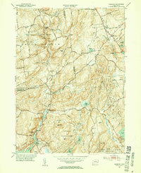
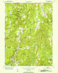
Editions of this 1952 Hamburg Map
3 editions found
Other maps of this area

1892 · New London
USGS Topo · 1:62,500

1892 · Norwich
USGS Topo · 1:62,500

1892 · Gilead
USGS Topo · 1:62,500

1893 · New London
USGS Topo · 1:62,500

1893 · Saybrook
USGS Topo · 1:62,500

1921 · New London
USGS Topo · 1:62,500

1934 · Niantic
USGS Topo · 1:24,000

1935 · Montville
USGS Topo · 1:24,000

1938 · Niantic
USGS Topo · 1:62,500

1939 · Montville
USGS Topo · 1:31,680