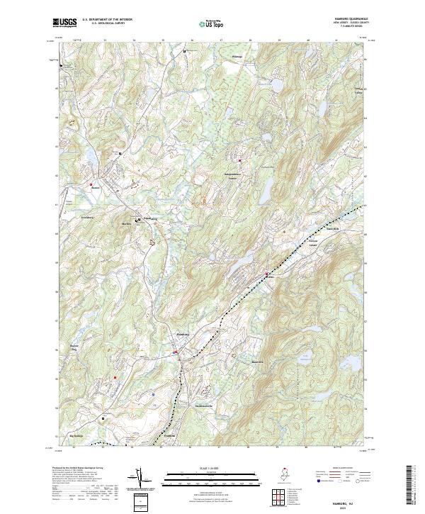
2023 Map of Hamburg
USGS Topo · Published 2023About this map
The Wallkill River defines the drainage and lowlands of this Sussex County landscape, winding through the expansive Wallkill River National Wildlife Refuge. The map details a corridor of established settlements including Sussex, Hamburg, and McAfee, each surrounded by a network of smaller historic hamlets like Papakating, Rudeville, and Hardistonville. This 2023 edition documents the modern interface between these dense clusters and the elevated terrain of Pochuck Mtn and the Hamburg Mountains. Numerous cemeteries, such as the Old Clove Church Cem and Deckertown Cem, provide specific points of interest for genealogical research, while the presence of the Sussex Airport and established transit routes like Co RD 517 show the area's continued role as a regional hub in northern New Jersey.
Find a feature on this map
193 named features on this map. Tap any name to fly to it.
Don’t see what you’re looking for? This feature index may not catch every label — zoom into the map to look around manually.
Map Details
Editions of this 2023 Hamburg Map
This is the sole edition of this map. No revisions or reprints were ever made.
Other maps of this area

1888 · Franklin
USGS Topo · 1:62,500

1891 · Greenwood Lake
USGS Topo · 1:62,500

1893 · Greenwood Lake
USGS Topo · 1:62,500

1894 · Franklin
USGS Topo · 1:62,500

1897 · Franklin
USGS Topo · 1:62,500

1903 · Franklin Furnace
USGS Topo · 1:62,500

1903 · Greenwood Lake
USGS Topo · 1:62,500

1906 · Port Jervis
USGS Topo · 1:62,500

1906 · Goshen
USGS Topo · 1:62,500

1908 · Goshen
USGS Topo · 1:62,500
Featured Places
- Vernon Township, NJ
- Wantage Township, Vernon Township
- Wantage, NJ
- Franklin, Hardyston Township
- Hamburg, Hardyston Township