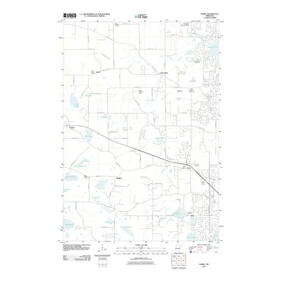
2010 Map of Hamel
USGS Topo · Published 2010About this map
The growing community of Hamel and the surrounding township of Medina characterize this suburbanizing landscape at the turn of the millennium. The map illustrates a transitional period where established settlements like Corcoran and Ditter are increasingly connected by a modernizing road network, including County Hwy-101 and County Hwy-50. This era is marked by the proliferation of recreational spaces, such as the Baker National Golf Course and the Hennepin County Fairgrounds, which share the terrain with traditional family and denominational sites.
Find a feature on this map
85 named features on this map. Tap any name to fly to it.
Don’t see what you’re looking for? This feature index may not catch every label — zoom into the map to look around manually.
Map Details
Editions of this 2010 Hamel Map
This is the sole edition of this map. No revisions or reprints were ever made.
Other maps of this area

1896 · Minneapolis
USGS Topo · 1:62,500

1901 · Minneapolis
USGS Topo · 1:62,500

1902 · Anoka
USGS Topo · 1:62,500

1905 · Minnetonka
USGS Topo · 1:62,500

1907 · Minnetonka
USGS Topo · 1:62,500

1909 · Rockford
USGS Topo · 1:62,500

1953 · Saint Paul
USGS Topo · 1:250,000

1953 · Stillwater
USGS Topo · 1:250,000

1954 · Hopkins
USGS Topo · 1:24,000

1954 · Minneapolis
USGS Topo · 1:62,500