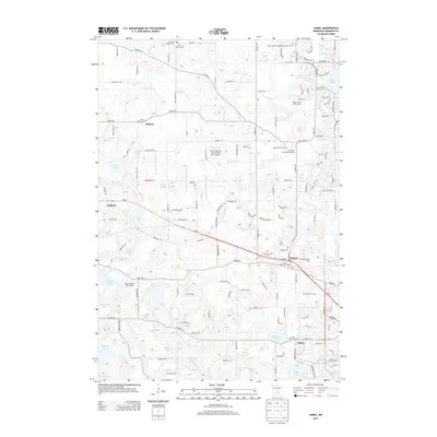
2013 Map of Hamel
USGS Topo · Published 2013About this map
Hennepin County Fairgrounds serves as a central landmark in this 2013 survey, which documents the suburban and rural landscape of Hennepin County. The map details several established settlements including Hamel, Ditter, Leighton, and Dupont, reflecting the area's growth along major corridors like MN-55. A high density of cemeteries, such as Old Saint Thomas Cem and Saint Janes Cem, provides significant value for genealogists tracing local families near the northern reaches of the quadrangle.
Find a feature on this map
128 named features on this map. Tap any name to fly to it.
Don’t see what you’re looking for? This feature index may not catch every label — zoom into the map to look around manually.
Map Details
Editions of this 2013 Hamel Map
This is the sole edition of this map. No revisions or reprints were ever made.
Other maps of this area

1896 · Minneapolis
USGS Topo · 1:62,500

1901 · Minneapolis
USGS Topo · 1:62,500

1902 · Anoka
USGS Topo · 1:62,500

1905 · Minnetonka
USGS Topo · 1:62,500

1907 · Minnetonka
USGS Topo · 1:62,500

1909 · Rockford
USGS Topo · 1:62,500

1953 · Saint Paul
USGS Topo · 1:250,000

1953 · Stillwater
USGS Topo · 1:250,000

1954 · Hopkins
USGS Topo · 1:24,000

1954 · Minneapolis
USGS Topo · 1:62,500