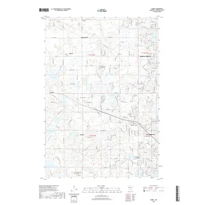
2019 Map of Hamel
USGS Topo · Published 2019About this map
Lake Medina and the surrounding wetland landscape of eastern Hennepin County dominate this 2019 survey, showing the complex hydrology that shapes local development. The map reveals a transition from suburban residential expansion to the east in Maple Grove and Plymouth toward the more open, lake-dotted terrain of Corcoran and Medina. Family and parish history is anchored by several long-established sites, including Saint Thomas Cem and Saint Janes Cem, reflecting the area's rural religious roots. A network of managed waterways, such as County Ditch Number Sixty and County Ditch Number Three, illustrate the historical effort to control the local watershed for agricultural and residential use. Notable private aviation is marked at Kral's Personal Use Landing Field, while the numerous basins like Weaver Lake and Mooney Lake continue to define the community's layout and recreation.
Find a feature on this map
185 named features on this map. Tap any name to fly to it.
Don’t see what you’re looking for? This feature index may not catch every label — zoom into the map to look around manually.
Map Details
Editions of this 2019 Hamel Map
This is the sole edition of this map. No revisions or reprints were ever made.
Other maps of this area

1896 · Minneapolis
USGS Topo · 1:62,500

1901 · Minneapolis
USGS Topo · 1:62,500

1902 · Anoka
USGS Topo · 1:62,500

1905 · Minnetonka
USGS Topo · 1:62,500

1907 · Minnetonka
USGS Topo · 1:62,500

1909 · Rockford
USGS Topo · 1:62,500

1953 · Saint Paul
USGS Topo · 1:250,000

1953 · Stillwater
USGS Topo · 1:250,000

1954 · Hopkins
USGS Topo · 1:24,000

1954 · Minneapolis
USGS Topo · 1:62,500