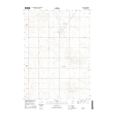
2015 Map of Hamill
USGS Topo · Published 2015About this map
Hamill stands at the center of this rural South Dakota landscape, positioned along a grid of section-line roads that define the region's agricultural layout. Water management is a primary feature of the terrain, with the Hamill Dam Reservoir and Linker Dam-Reservoir serving as vital infrastructure for the local prairie economy. The drainage patterns of the northern Great Plains are clearly visible through the winding paths of No Moccasin Cr and Black Dog Cr, which cut through the undulating contours of the Ideal segment. This 2015 study provides a precise view of the road network, including 261st St and 324th Ave, documenting the persistent pattern of land division and residency in Tripp County more than a century after its initial settlement.
Find a feature on this map
23 named features on this map. Tap any name to fly to it.
Don’t see what you’re looking for? This feature index may not catch every label — zoom into the map to look around manually.
Map Details
Editions of this 2015 Hamill Map
This is the sole edition of this map. No revisions or reprints were ever made.
Other maps of this area

1951 · Ideal NE
USGS Topo · 1:24,000

1952 · Hamill NW
USGS Topo · 1:24,000

1952 · Hamill NE
USGS Topo · 1:24,000

1955 · Mitchell
USGS Topo · 1:250,000

1959 · Mitchell
USGS Topo · 1:250,000

1971 · Hamill SE
USGS Topo · 1:24,000

1971 · Rattlesnake Butte East
USGS Topo · 1:24,000

1971 · Hamill
USGS Topo · 1:24,000

1971 · Rattlesnake Butte West
USGS Topo · 1:24,000

1982 · King Dam
USGS Topo · 1:25,000