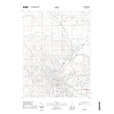
2019 Map of Hamilton
USGS Topo · Published 2019About this map
The Great Miami River flows southward through the heart of Butler County, anchoring the industrial and civic development of Hamilton. This modern survey documents the urban density of the county seat, where landmarks like the Fort Hamilton Monument and Government Services Center sit just blocks from the riverbank. The landscape transitions from the dense street grids of South Hamilton and City View Heights to the residential pockets of New Miami and Williamsdale. To the north, the terrain opens into the Hickory Flats area, where small villages like Seven Mile and Overpeck are connected by the CSX Transportation rail line and historic routes such as the Hamilton Eaton Pike.
Find a feature on this map
251 named features on this map. Tap any name to fly to it.
Don’t see what you’re looking for? This feature index may not catch every label — zoom into the map to look around manually.
Map Details
Editions of this 2019 Hamilton Map
This is the sole edition of this map. No revisions or reprints were ever made.
Other maps of this area

1904 · Mason
USGS Topo · 1:62,500

1906 · Mason
USGS Topo · 1:62,500

1908 · Miamisburg
USGS Topo · 1:62,500

1911 · Oxford
USGS Topo · 1:62,500

1915 · Hamilton
USGS Topo · 1:62,500

1917 · Hamilton
USGS Topo · 1:62,500

1953 · Cincinnati
USGS Topo · 1:250,000

1955 · Hamilton
USGS Topo · 1:24,000
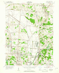
1955 · Glendale
USGS Topo · 1:24,000
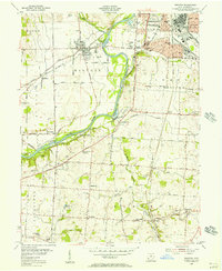
1955 · Trenton
USGS Topo · 1:24,000