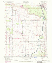
1949 Map of Hamilton City
USGS Topo · Published 1970About this map
Hamilton City stands as a hub of agricultural and transit development along the Southern Pacific rail line during the late 1940s. The landscape is defined by the massive irrigation infrastructure of the Glenn Colusa Canal and protective Levee systems that follow the winding course of Stony Creek. This survey captures a rural community built around large-scale land holdings like Mills Orchard and the township developments of Ordbend and the St John (Site).
Find a feature on this map
20 named features on this map. Tap any name to fly to it.
Don’t see what you’re looking for? This feature index may not catch every label — zoom into the map to look around manually.
Map Details
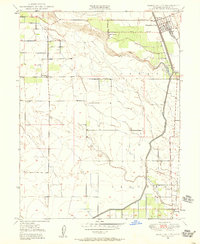
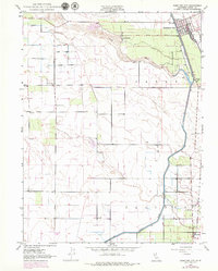
Editions of this 1949 Hamilton City Map
3 editions found
Other maps of this area

1891 · Chico
USGS Topo · 1:125,000

1893 · Chico
USGS Topo · 1:125,000

1895 · Chico
USGS Topo · 1:125,000

1904 · Vina
USGS Topo · 1:62,500

1906 · Willows
USGS Topo · 1:62,500

1912 · Nord
USGS Topo · 1:31,680

1912 · Chico Landing
USGS Topo · 1:31,680
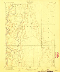
1912 · Newhard
USGS Topo · 1:31,680

1914 · Kirkwood
USGS Topo · 1:31,680

1914 · Orland
USGS Topo · 1:31,680