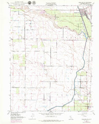
1949 Map of Hamilton City
USGS Topo · Published 1979About this map
Stony Creek defines the landscape as it winds through Glenn County, nourishing the expansive Mills Orchard and orchard-lined roads of this agricultural corridor. This 1949 survey, with revisions from 1969, documents a period of significant water management in the Sacramento Valley, featuring the prominent Glenn Colusa Canal and Colusa Canal that parallel the Southern Pacific railroad line. The settlement of Hamilton City is shown in detail, including its street grid and Union High Sch. Local community life is further marked by rural education centers like Plaza School and Ord School, while the historical location of St John (Site) near the St John Road provides a specific point of interest for researchers tracing the evolution of regional townships. The map clearly illustrates the transition from river-fed irrigation to a more structured canal system designed to support the valley's intensive fruit production.
Find a feature on this map
20 named features on this map. Tap any name to fly to it.
Don’t see what you’re looking for? This feature index may not catch every label — zoom into the map to look around manually.
Map Details
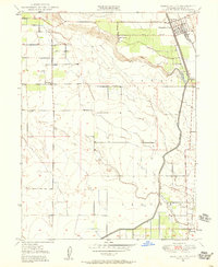
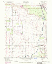
Editions of this 1949 Hamilton City Map
3 editions found
Other maps of this area

1891 · Chico
USGS Topo · 1:125,000

1893 · Chico
USGS Topo · 1:125,000

1895 · Chico
USGS Topo · 1:125,000

1904 · Vina
USGS Topo · 1:62,500

1906 · Willows
USGS Topo · 1:62,500

1912 · Nord
USGS Topo · 1:31,680

1912 · Chico Landing
USGS Topo · 1:31,680
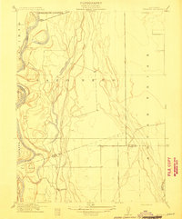
1912 · Newhard
USGS Topo · 1:31,680

1914 · Kirkwood
USGS Topo · 1:31,680

1914 · Orland
USGS Topo · 1:31,680