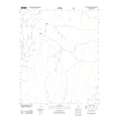
2011 Map of Hamilton Crossing
USGS Topo · Published 2011About this map
Whitted Place and Echinique Place stand as primary landmarks in this Coconino County landscape, where the water management of the high desert is the defining characteristic of the terrain. The network of drainage and seasonal water is anchored by Clear Creek and Willow Creek, with the map detailing a specialized system of named tanks essential for livestock and local land use. These include notable features like the Erramuzpe Trick Tank, Government Trick Tank, and Bargman Tank. The name Hamilton Crossing itself indicates a vital point of transit across the creek beds. A dense grid of US Forest Service roads, such as 63, 9484g, and 9731n, provides the structural framework for navigating this remote region of Arizona, illustrating how modern administrative management overlies a landscape marked by legacy ranching sites and carefully placed water catchments.
Find a feature on this map
51 named features on this map. Tap any name to fly to it.
Don’t see what you’re looking for? This feature index may not catch every label — zoom into the map to look around manually.
Map Details
Editions of this 2011 Hamilton Crossing Map
This is the sole edition of this map. No revisions or reprints were ever made.
Other maps of this area

1886 · Holbrook
USGS Topo · 1:250,000

1887 · Verde
USGS Topo · 1:250,000

1892 · Verde
USGS Topo · 1:250,000

1893 · Holbrook
USGS Topo · 1:250,000

1954 · Holbrook
USGS Topo · 1:250,000

1955 · Sunset Knoll 2 SW
USGS Topo · 1:24,000

1955 · Sunset Knoll 2 SE
USGS Topo · 1:24,000

1955 · Sunset Pass
USGS Topo · 1:62,500

1957 · Holbrook
USGS Topo · 1:250,000

1958 · Holbrook
USGS Topo · 1:250,000