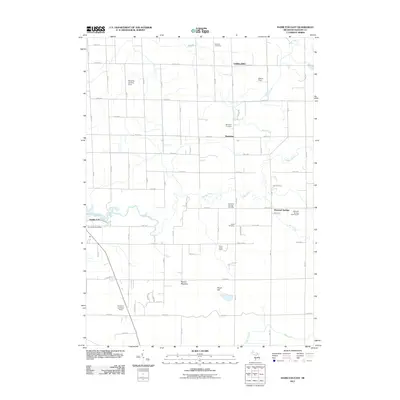
2011 Map of Hamilton East
USGS Topo · Published 2011About this map
Bentheim and Oakland anchor this rural landscape in northeastern Allegan County, where the agricultural grid is defined by a network of numbered roads like 40th St and 142nd Ave. The winding course of the Rabbit River and Black Creek carve through the terrain, influencing the placement of local landmarks such as Silver Creek Camp and the marshy expanse of Beaver Meadow. This survey documents a quiet pastoral era, noting small community centers and aviation facilities like Busscher Landing Strip.
Find a feature on this map
58 named features on this map. Tap any name to fly to it.
Don’t see what you’re looking for? This feature index may not catch every label — zoom into the map to look around manually.
Map Details
Editions of this 2011 Hamilton East Map
This is the sole edition of this map. No revisions or reprints were ever made.
Other maps of this area

1928 · Fennville
USGS Topo · 1:62,500

1929 · Holland
USGS Topo · 1:62,500

1931 · Fennville
USGS Topo · 1:62,500

1932 · Holland
USGS Topo · 1:62,500

1958 · Allegan
USGS Topo · 1:62,500

1958 · Grandville
USGS Topo · 1:62,500

1958 · Racine
USGS Topo · 1:250,000

1958 · Grand Rapids
USGS Topo · 1:250,000

1961 · Grand Rapids
USGS Topo · 1:250,000

1962 · Grand Rapids
USGS Topo · 1:250,000