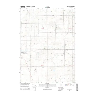
2014 Map of Hamilton East
USGS Topo · Published 2014About this map
Rabbit River winds through this section of Allegan County, anchoring a landscape defined by traditional farming hamlets and established rural intersections. The small communities of Bentheim and Diamond Springs serve as local hubs, surrounded by a high concentration of historic burial grounds including Overisel Cem, Bentheim Cem, and the Dowd Cem further south. These sites, along with the Diamond Springs Cem, provide significant touchpoints for genealogical research in this part of Michigan. The map illustrates a grid of section roads like 144th Ave and 136th Ave that connect these settlements to the village of Hamilton in the west. Topographical features like Beach Hill and the marshy area of Beaver Meadow break up the agricultural tracts, while Bakers Field Airport near Oakland shows the persistence of small-scale aviation in the region's modern infrastructure.
Find a feature on this map
39 named features on this map. Tap any name to fly to it.
Don’t see what you’re looking for? This feature index may not catch every label — zoom into the map to look around manually.
Map Details
Editions of this 2014 Hamilton East Map
This is the sole edition of this map. No revisions or reprints were ever made.
Other maps of this area

1928 · Fennville
USGS Topo · 1:62,500

1929 · Holland
USGS Topo · 1:62,500

1931 · Fennville
USGS Topo · 1:62,500

1932 · Holland
USGS Topo · 1:62,500

1958 · Allegan
USGS Topo · 1:62,500

1958 · Grandville
USGS Topo · 1:62,500

1958 · Racine
USGS Topo · 1:250,000

1958 · Grand Rapids
USGS Topo · 1:250,000

1961 · Grand Rapids
USGS Topo · 1:250,000

1962 · Grand Rapids
USGS Topo · 1:250,000