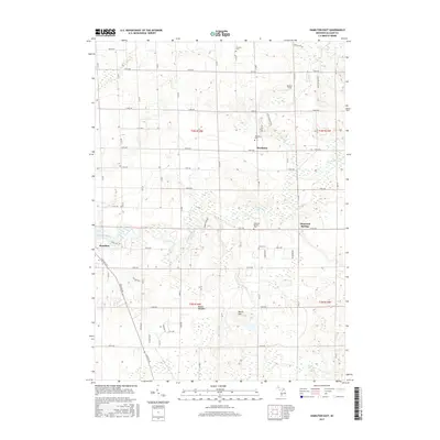
2017 Map of Hamilton East
USGS Topo · Published 2017About this map
Bentheim and the surrounding township lands in Allegan County are defined by a grid of numbered roads and several significant watercourses. The Rabbit River meanders through the central and western portions of the map, creating a network of wetlands and low-lying areas like Beaver Meadow. This landscape is marked by several small, established community centers including Hamilton and Diamond Springs, which serve as focal points for the rural countryside.
Find a feature on this map
60 named features on this map. Tap any name to fly to it.
Don’t see what you’re looking for? This feature index may not catch every label — zoom into the map to look around manually.
Map Details
Editions of this 2017 Hamilton East Map
This is the sole edition of this map. No revisions or reprints were ever made.
Other maps of this area

1928 · Fennville
USGS Topo · 1:62,500

1929 · Holland
USGS Topo · 1:62,500

1931 · Fennville
USGS Topo · 1:62,500

1932 · Holland
USGS Topo · 1:62,500

1958 · Allegan
USGS Topo · 1:62,500

1958 · Grandville
USGS Topo · 1:62,500

1958 · Racine
USGS Topo · 1:250,000

1958 · Grand Rapids
USGS Topo · 1:250,000

1961 · Grand Rapids
USGS Topo · 1:250,000

1962 · Grand Rapids
USGS Topo · 1:250,000