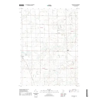
2019 Map of Hamilton East
USGS Topo · Published 2019About this map
Bentheim and Diamond Springs anchor this rural landscape in Allegan County, where the meandering course of the Rabbit River defines the local topography. This 2019 survey illustrates a classic Midwestern grid of section-line roads, such as 140th Ave and 40th St, which connect small agricultural settlements and family-named landmarks. Genealogists will find significant value in the documentation of local burial grounds, including Overisel Cem, Bentheim Cem, and the Dowd Cem located south of the river. The terrain is punctuated by distinct features like Bakers Field and Beach Hill, while the drainage network is supported by Black Cr, Miller Cr, and Bear Cr. A portion of Hamilton is visible on the western edge, linked to the surrounding countryside by Lincoln Rd and Scenic Dr.
Find a feature on this map
59 named features on this map. Tap any name to fly to it.
Don’t see what you’re looking for? This feature index may not catch every label — zoom into the map to look around manually.
Map Details
Editions of this 2019 Hamilton East Map
This is the sole edition of this map. No revisions or reprints were ever made.
Other maps of this area

1928 · Fennville
USGS Topo · 1:62,500

1929 · Holland
USGS Topo · 1:62,500

1931 · Fennville
USGS Topo · 1:62,500

1932 · Holland
USGS Topo · 1:62,500

1958 · Allegan
USGS Topo · 1:62,500

1958 · Grandville
USGS Topo · 1:62,500

1958 · Racine
USGS Topo · 1:250,000

1958 · Grand Rapids
USGS Topo · 1:250,000

1961 · Grand Rapids
USGS Topo · 1:250,000

1962 · Grand Rapids
USGS Topo · 1:250,000