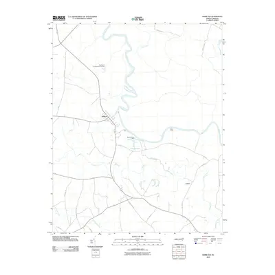
2010 Map of Hamilton
USGS Topo · Published 2010About this map
Hamilton serves as the primary hub on this Martin County survey, situated at a sharp bend in the Roanoke River. The landscape is defined by the heavy presence of low-lying water systems, including the expansive Huskanaw Swamp in the southwest and the meandering course of Conoho Creek. This 2010 map highlights the intersection of modern state roads and established land features, such as the Rainbow Pond Dam and the Roy Everett Hunting Club Pond Dam, reflecting a landscape managed for both drainage and recreation. Small settlements like Ballard and riverfront points such as Cocks Landing illustrate the historical connection between local communities and the river-driven topography of the North Carolina Coastal Plain. The proximity of Indian Creek and Beaverdam Creek further emphasizes the complex network of wetlands that dictate the area's rural development and transportation corridors.
Find a feature on this map
25 named features on this map. Tap any name to fly to it.
Don’t see what you’re looking for? This feature index may not catch every label — zoom into the map to look around manually.
Map Details
Editions of this 2010 Hamilton Map
This is the sole edition of this map. No revisions or reprints were ever made.
Other maps of this area

1901 · Parmele
USGS Topo · 1:62,500

1901 · Williamston
USGS Topo · 1:62,500

1902 · Williamston
USGS Topo · 1:62,500

1902 · Parmele
USGS Topo · 1:62,500

1953 · Norfolk
USGS Topo · 1:250,000

1953 · Rocky Mount
USGS Topo · 1:250,000

1954 · Rocky Mount
USGS Topo · 1:250,000

1962 · Palmyra
USGS Topo · 1:24,000

1972 · Republican
USGS Topo · 1:24,000

1972 · Woodville
USGS Topo · 1:24,000