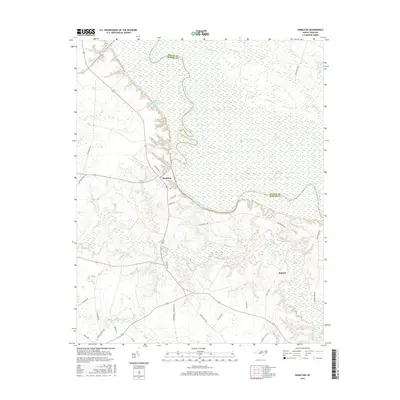
2016 Map of Hamilton
USGS Topo · Published 2016About this map
The Roanoke River carves a dramatic, winding path along the border of Martin and Bertie counties, defining the northern landscape of this region. The town of Hamilton sits on the southern banks of the river, where the grid of N Railroad St and E Main St anchors the local settlement. This area is characterized by a high density of water bodies and wetlands, including the expansive Broadneck Swamp and the meandering Conoho Cr.
Find a feature on this map
37 named features on this map. Tap any name to fly to it.
Don’t see what you’re looking for? This feature index may not catch every label — zoom into the map to look around manually.
Map Details
Editions of this 2016 Hamilton Map
This is the sole edition of this map. No revisions or reprints were ever made.
Other maps of this area

1901 · Parmele
USGS Topo · 1:62,500

1901 · Williamston
USGS Topo · 1:62,500

1902 · Williamston
USGS Topo · 1:62,500

1902 · Parmele
USGS Topo · 1:62,500

1953 · Norfolk
USGS Topo · 1:250,000

1953 · Rocky Mount
USGS Topo · 1:250,000

1954 · Rocky Mount
USGS Topo · 1:250,000

1962 · Palmyra
USGS Topo · 1:24,000

1972 · Republican
USGS Topo · 1:24,000

1972 · Woodville
USGS Topo · 1:24,000