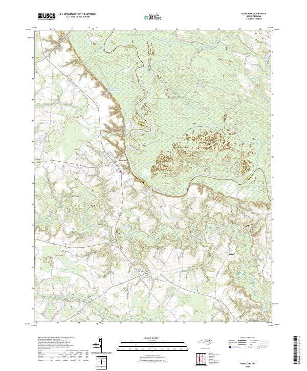
2022 Map of Hamilton
USGS Topo · Published 2022About this map
The Roanoke River snakes along the boundary between Bertie Co and Martin County, defining the hydrology of this landscape. The settlement of Hamilton is situated on the river’s southern bank, where a grid of streets including N Railroad St and S Front St hints at its historical connectivity. To the north and east, the terrain transitions into expansive wetlands such as Broadneck Swamp and Town Swamp, while to the south, Ballard serves as a smaller node of activity near Conoho Cr.
Find a feature on this map
39 named features on this map. Tap any name to fly to it.
Don’t see what you’re looking for? This feature index may not catch every label — zoom into the map to look around manually.
Map Details
Editions of this 2022 Hamilton Map
This is the sole edition of this map. No revisions or reprints were ever made.
Other maps of this area

1901 · Parmele
USGS Topo · 1:62,500

1901 · Williamston
USGS Topo · 1:62,500

1902 · Williamston
USGS Topo · 1:62,500

1902 · Parmele
USGS Topo · 1:62,500

1953 · Norfolk
USGS Topo · 1:250,000

1953 · Rocky Mount
USGS Topo · 1:250,000

1954 · Rocky Mount
USGS Topo · 1:250,000

1962 · Palmyra
USGS Topo · 1:24,000

1972 · Republican
USGS Topo · 1:24,000

1972 · Woodville
USGS Topo · 1:24,000